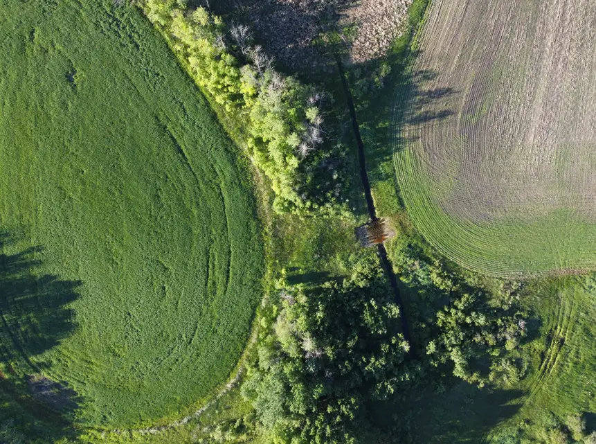
Prairie Terrain Mapping, combines high-resolution imagery and RTK mapping to provide a comprehensive approach to monitoring your projects. Whether tracking changes in vegetation, assessing infrastructure, or monitoring land use, you have accurate and actionable insights.
Tools Used To Monitor Your Projects
- Drone Imagery: Captures detailed aerial views for precise assessments.
- Satellite Imagery: Provides broad area coverage to monitor changes over time.
- LiDAR: Offers high-resolution elevation data for terrain and surface monitoring.
- RTK Mapping: Delivers centimeter-level accuracy for real-time field measurements, perfect for infrastructure placement, boundary verification, and land surveys.